
GPS tracks Kyrgyzstan
The app for your road trip in a van, SUV, motorcycle, or bicycle
30,00 €
✅ Updated in June 2026
🌎 Language: Available in French  , and English
⬇️ Available exclusively in the Ountravela app (iOS/Android/web). No GPX file provided.
⚡ Immediate access upon purchase
Find all the points of interest and GPS tracks in the EXPLORE KIRGHIZISTAN guide, the essential reference book for preparing your van, 4×4, motorcycle or bicycle adventure in Kyrgyzstan.
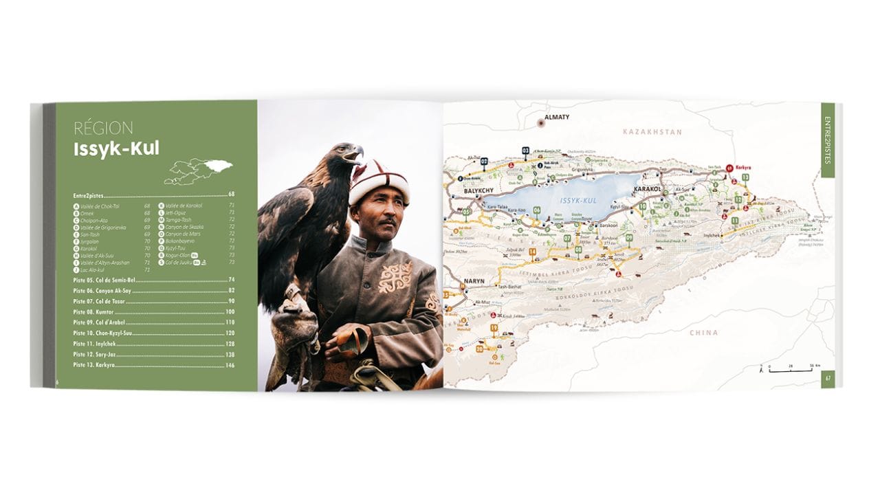
✓ 28 off-road routes
✓ Over 800 GPS waypoints: campsites, scenic overlooks, etc.
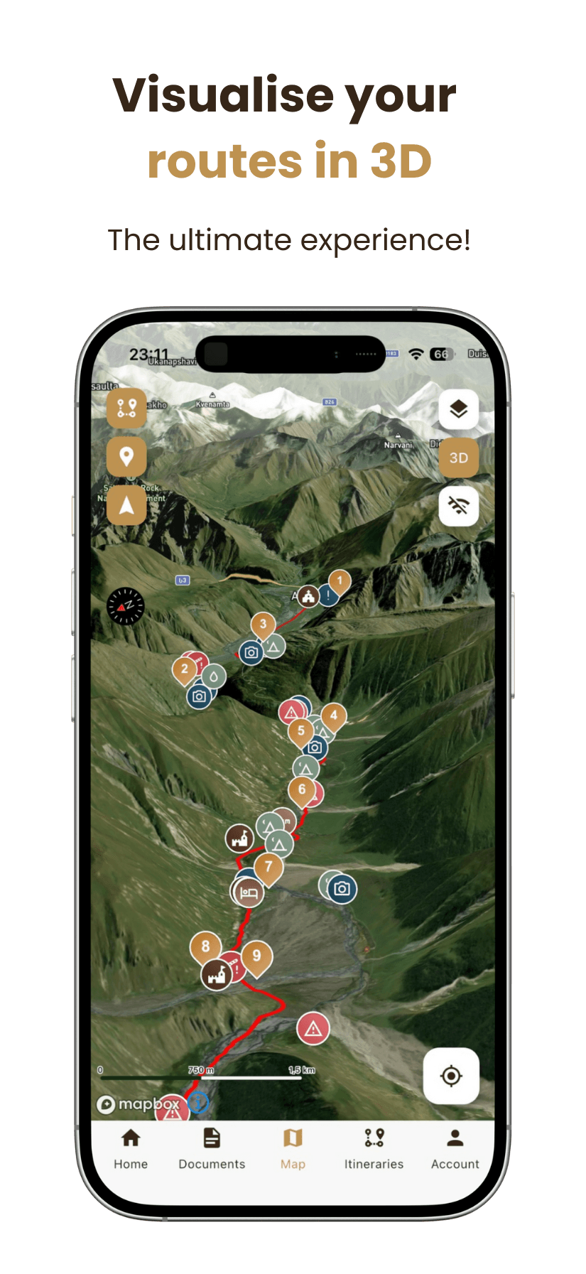
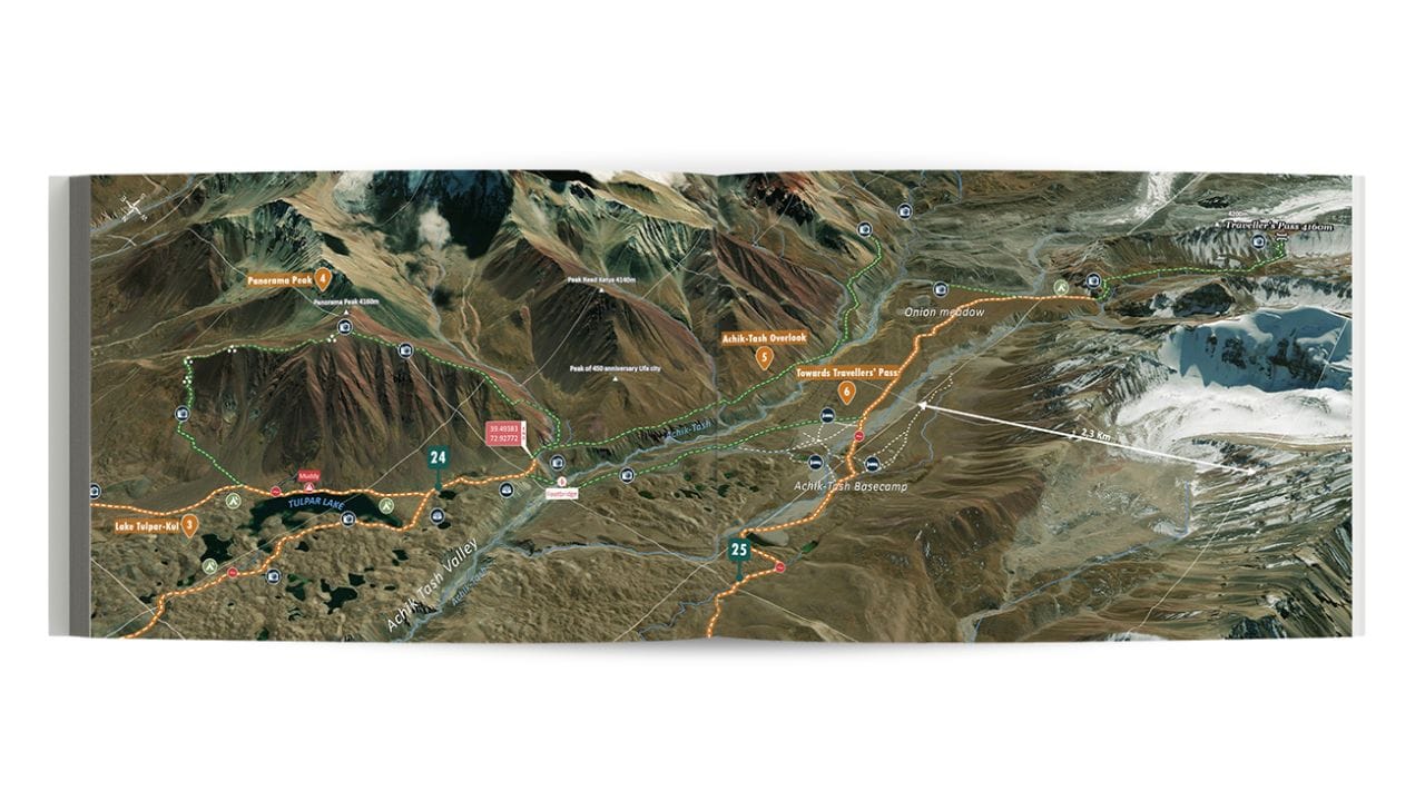
✓ High-resolution 3D maps
✓ GPS tracking and 100% offline mode
✓ 2 years of updates + real-time community feedback
✓ Multi-device access (2 devices included)

Additional information
| Language | English, French |
|---|
87 reviews for GPS tracks Kyrgyzstan
 GPS tracks Kyrgyzstan
Why choose the Ountravela app to explore Kyrgyzstan?
Planning a road trip through the mountains of Central Asia requires careful logistics. Gone are the days when you had to juggle three different apps and outdated GPX files. We designed the Ountravela app to bring together everything an independent traveler needs on the go. It’s the perfect digital tool to complement our print guide, *Explore Kyrgyzstan*, or to travel light with just your smartphone or tablet.
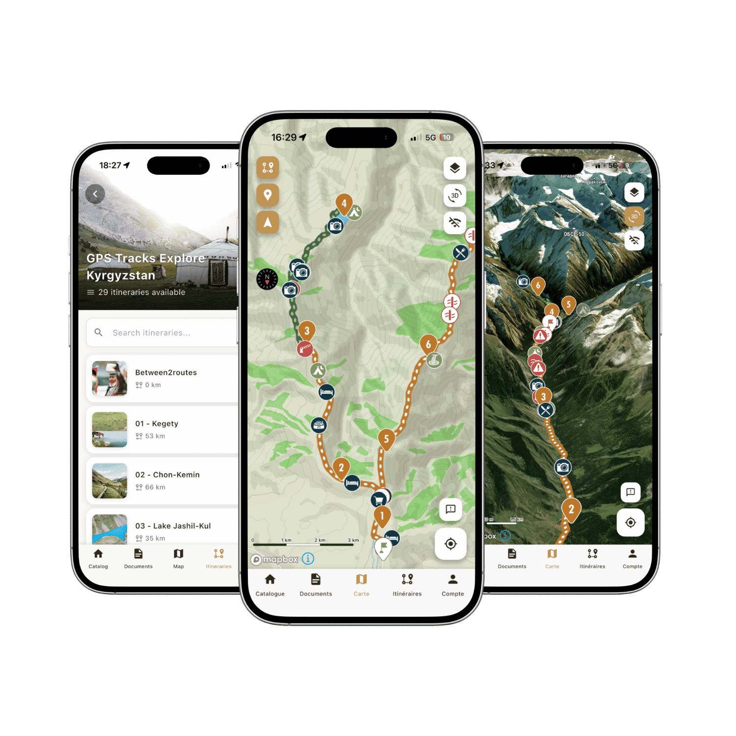
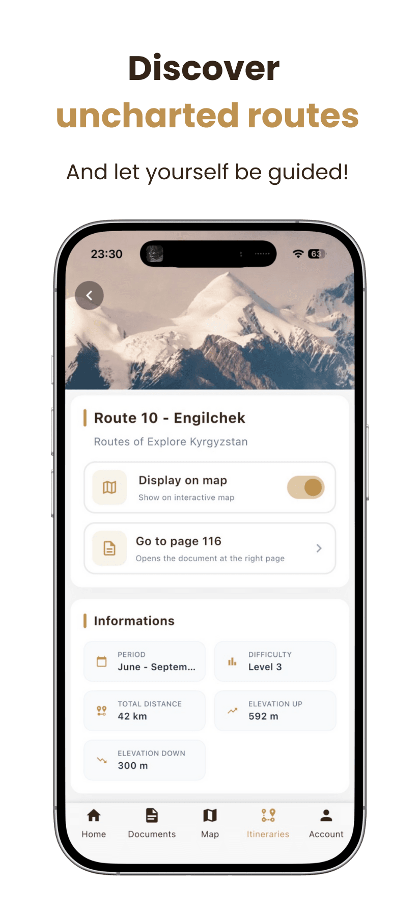
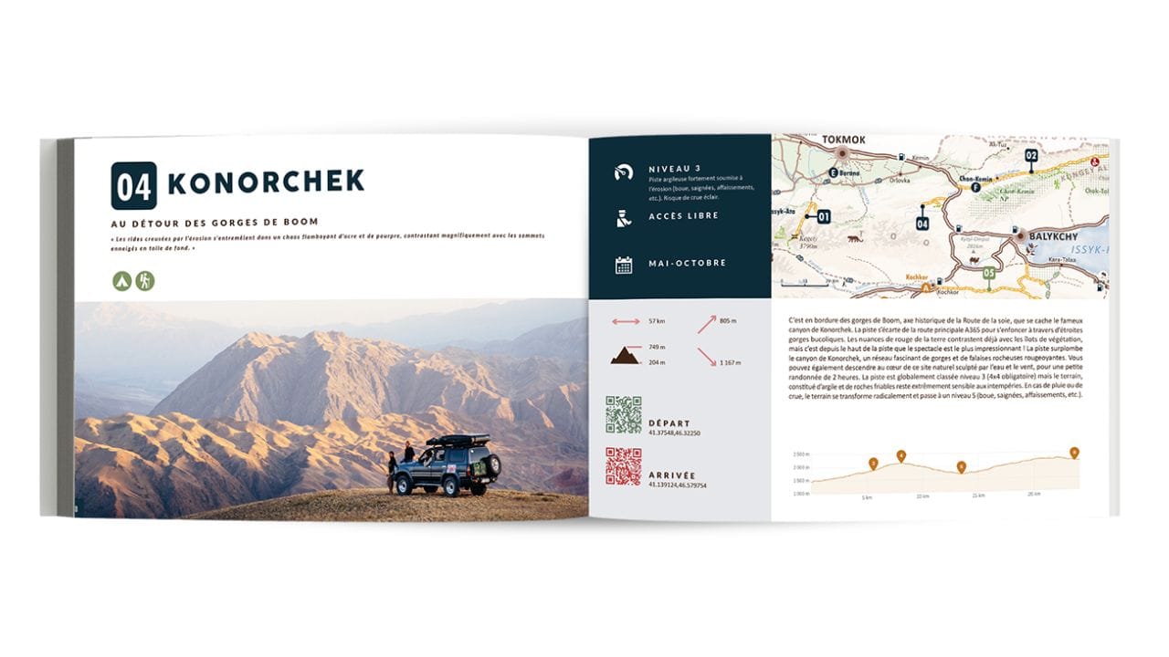
You can now access the GPS tracks for all 28 trails in the EXPLORE Kyrgyzstan guide, as well as all points of interest, directly within the Ountravela app.
- 📍 Accuracy: View each route and point of interest down to the meter on detailed maps in the Ountravela app.
- 🗺️ 3D Maps: Explore Kyrgyzstan's terrain as if you were there, thanks to high-resolution 3D mapping.
- 🚙 GPS Tracking: Take advantage of real-time GPS tracking to navigate the 28 routes without ever getting lost.
- 📸 Enhanced text and photo content: View detailed photos of technical sections and read the authors' personal comments.
- 🔄 Live updates and info: Get last-minute tips from authors and real-time feedback from the travel community to stay up to date on trail conditions. Includes 2 years of updates.
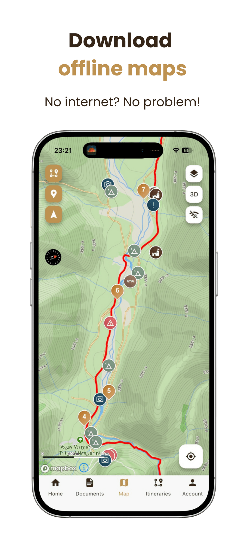
- 🚫 100% accessible offline: Download all your data and maps to your smartphone or tablet for offline use.
How do GPS tracks work?
Access to your itineraries is instant and synchronized. Once your order has been confirmed, you can view the GPS tracks:
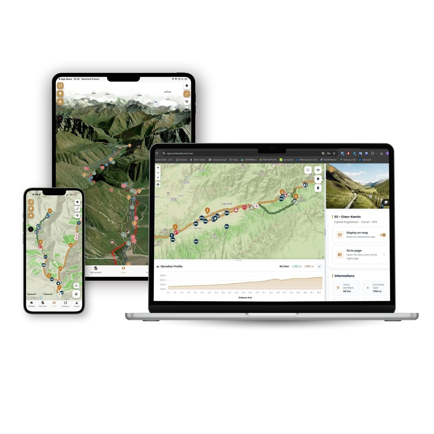
On your phone or tablet: Download the Ountravela app for iOS or Android and access GPS tracks 100% offline. Be sure to download your maps in advance.
On your computer: Log in to app.ountravela.com to conveniently plan your itinerary on a large screen before you leave. Please note that web access on a computer requires an internet connection.
File Sharing: You can enable access on up to 2 devices (for example, your computer for trip planning and your phone during your trip).
Travel with peace of mind thanks to real-time updates
In the high mountains, nature reigns supreme. A trail that is passable in June may be blocked in July by a rockslide, a mudslide, or a bridge washed away by a river flood. That's where the Ountravela app really sets itself apart from a standard GPX file.
Your purchase includes 2 years of map updates. In addition, you have access to a collaborative news feed: the travel community and we share the latest information in real time on trail conditions, pass openings, and weather conditions. You can travel with peace of mind, armed with up-to-date and verified information.
Our readers' opinion

 Achat vérifié
 Verified review - view original
 Achat vérifié
Verified review - view original
 Achat vérifié
 Achat vérifié
 Achat vérifié
Les tracks me semble bien mais ça une fois sur place qu'on pourrait l'experimenter, mais j'ai toute la confiance que se sera parfait.
Verified review - view original
Achat vérifiéHeel handig te gebruiken in jullie app, maar ook in andere apps.
Verified review - view original
 Achat vérifié
Efficient, responsive and efficient staff. Excellent and very thought through book on Kyrghzstan
Verified review - view original
 Achat vérifié
Very well and clear info on tracks and hikes, love the GPS Data as well. Cool additional info on the Country and culture! Very recommended!
Verified review - view original
Why buy the book in addition to the GPS tracks?
GPS tracks are your compass on the trails. With the app, you can pinpoint your location down to the meter, find all our points of interest, and follow our routes. However, what you see on a screen doesn't prepare you for the cultural and logistical realities of Kyrgyzstan.
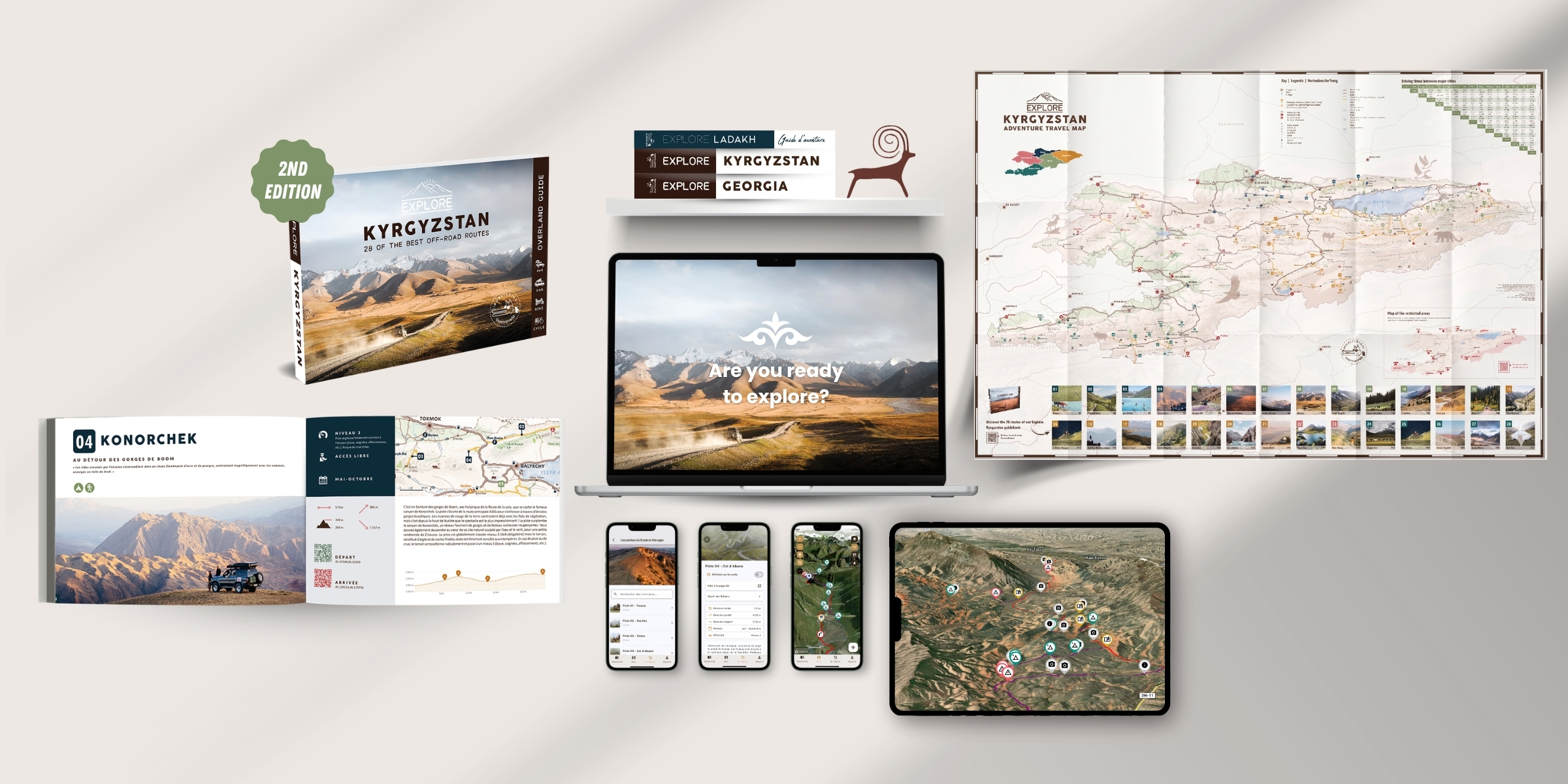
The EXPLORE Kyrgyzstan guide, available in print or as an ebook, is the true backbone of your trip. It contains:
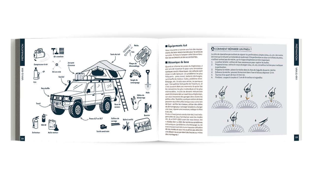
- The Road Trip Toolkit: Our tips for driving on Kyrgyz trails, how to manage fuel range, drinking water, road conditions, difficulty levels of the 28 trails, essential gear, and more.
- Cultural Highlights: Etiquette in the yurt, the country's history, nomadic traditions, and the basics of the language to help you communicate with locals.
- Safety: Emergency numbers, managing health at high altitudes, and essential administrative procedures (border zone permits).
🎁 Getan instant discount when you purchase the e-book and GPS tracks together (at the very top of this page, check the corresponding box).
⭐ RECOMMENDED OFFER
The complete Paper + Digital pack
It's the uncompromising choice. This pack includes all the physical and digital* tools you need for complete independence: the convenience of paper for planning your route and letting your imagination run wild, and our new dedicated app for precise navigation once you’re out in the field.
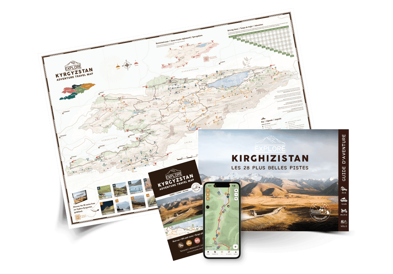
*Digital files are accessible only within the app. No GPX or PDF files are provided.
Frequently asked questions
Complete your Kyrgyzstan kit
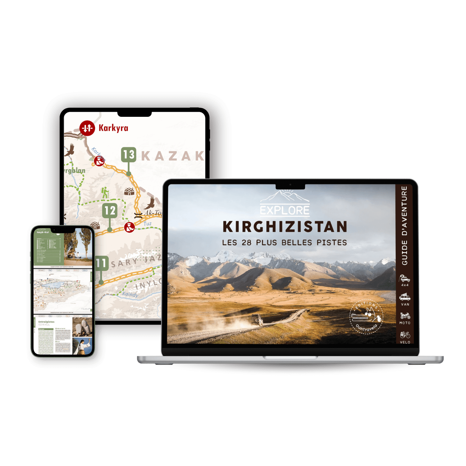
Ebook Explore Kyrgyzstan
32,90 €
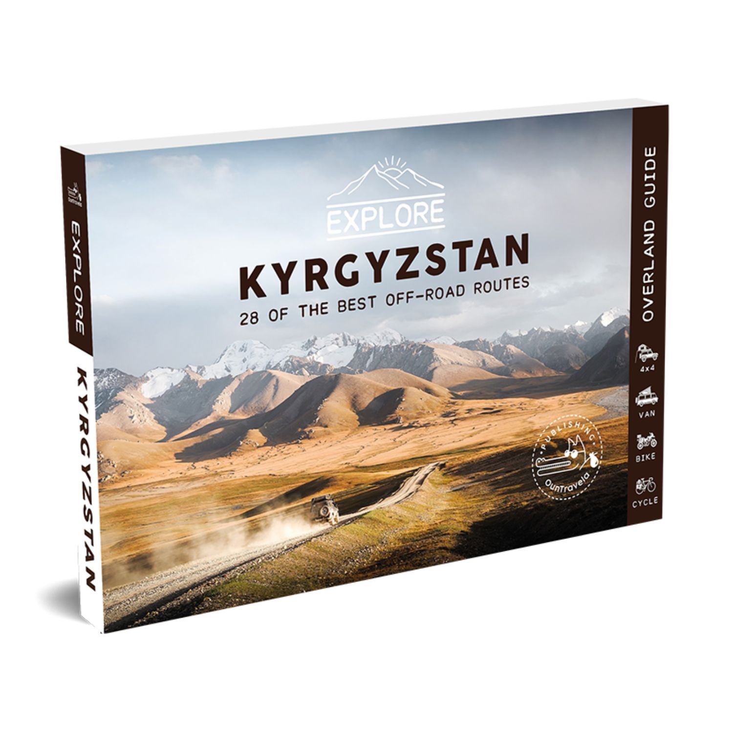
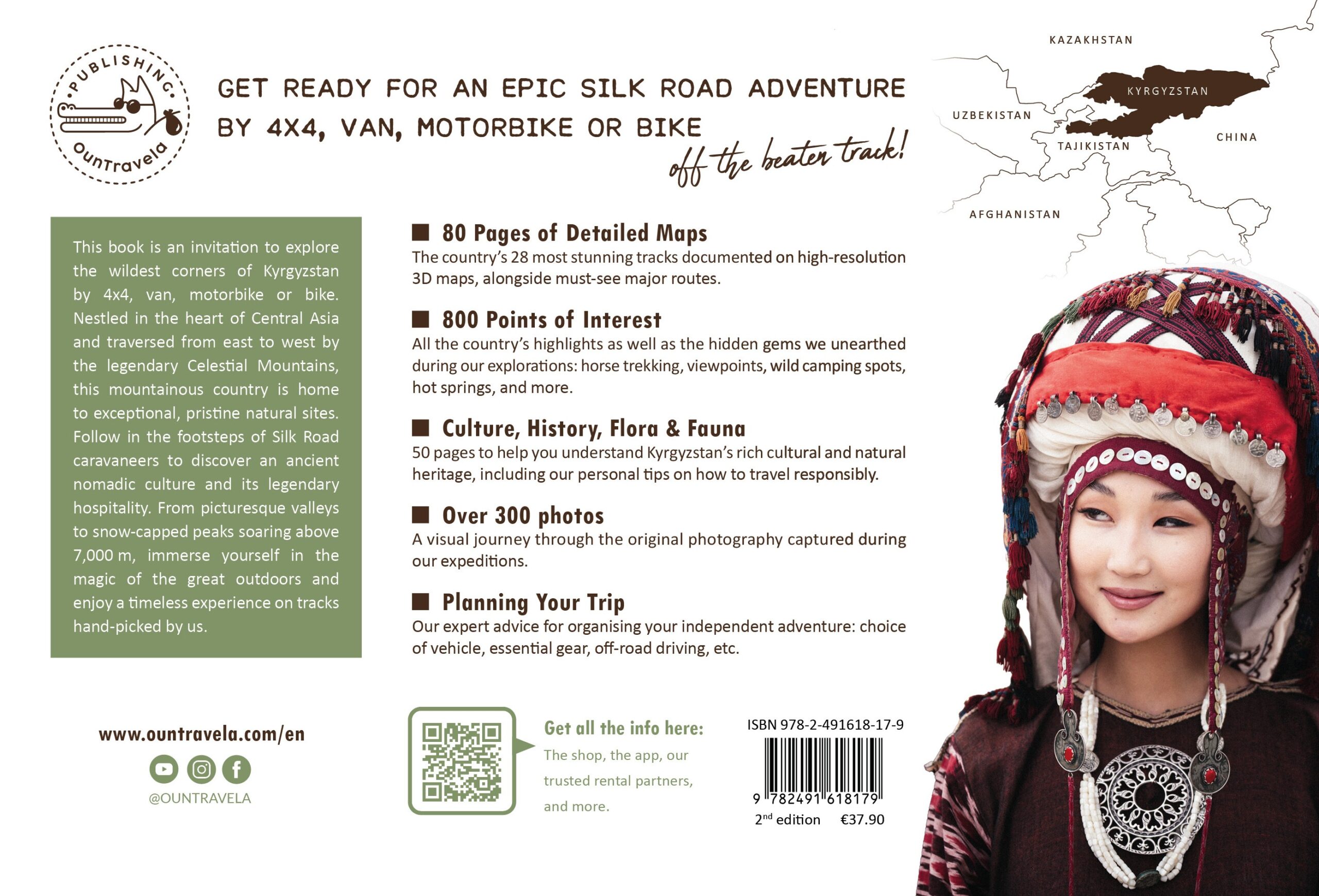
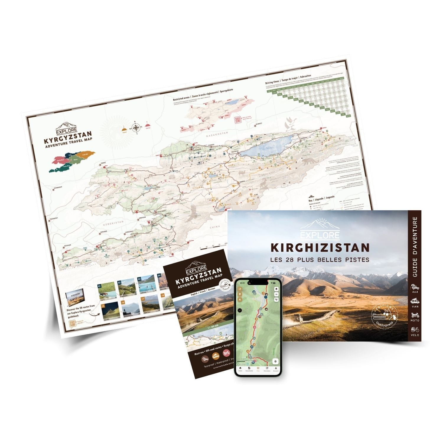

Explore Kyrgyzstan travel guide
37,90 €
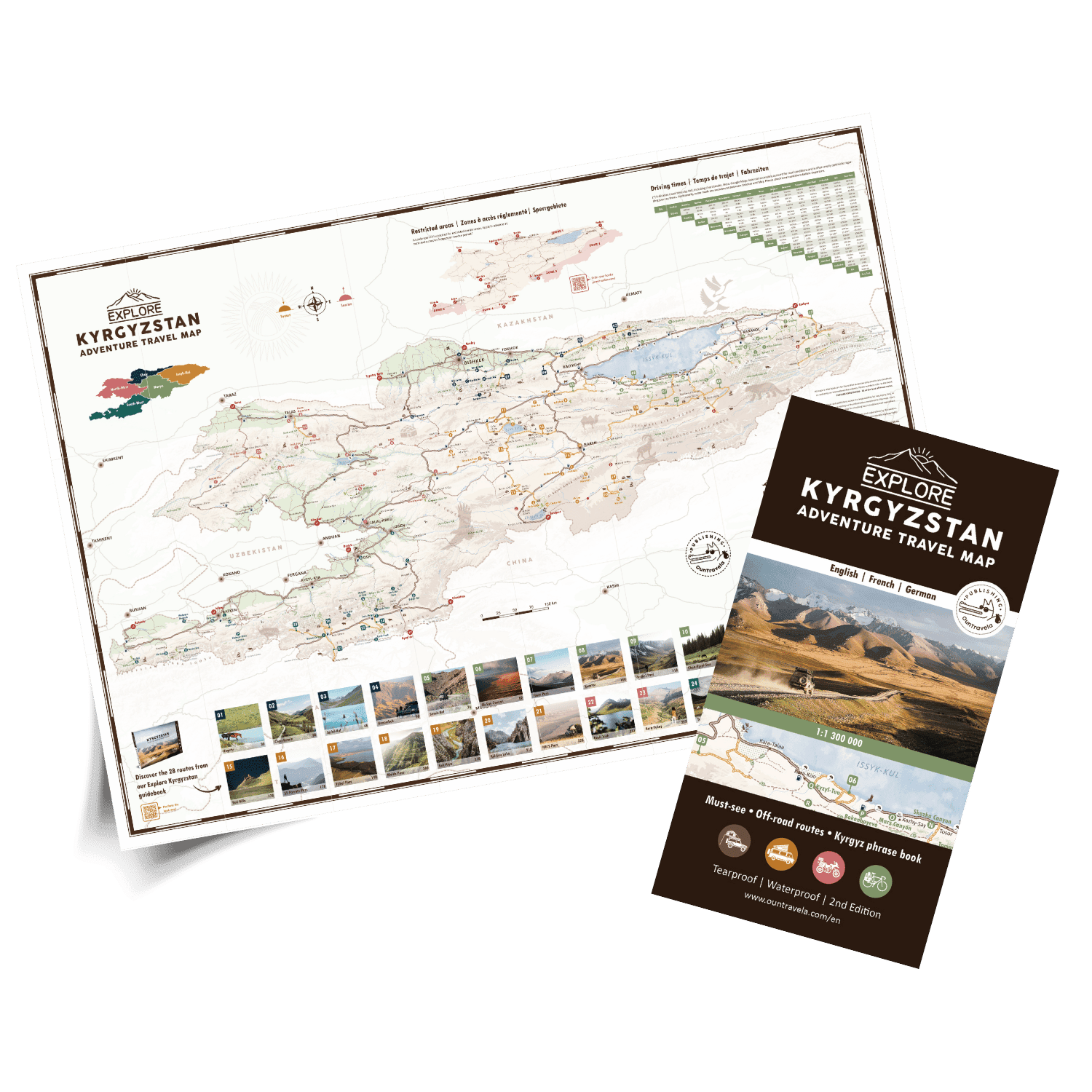
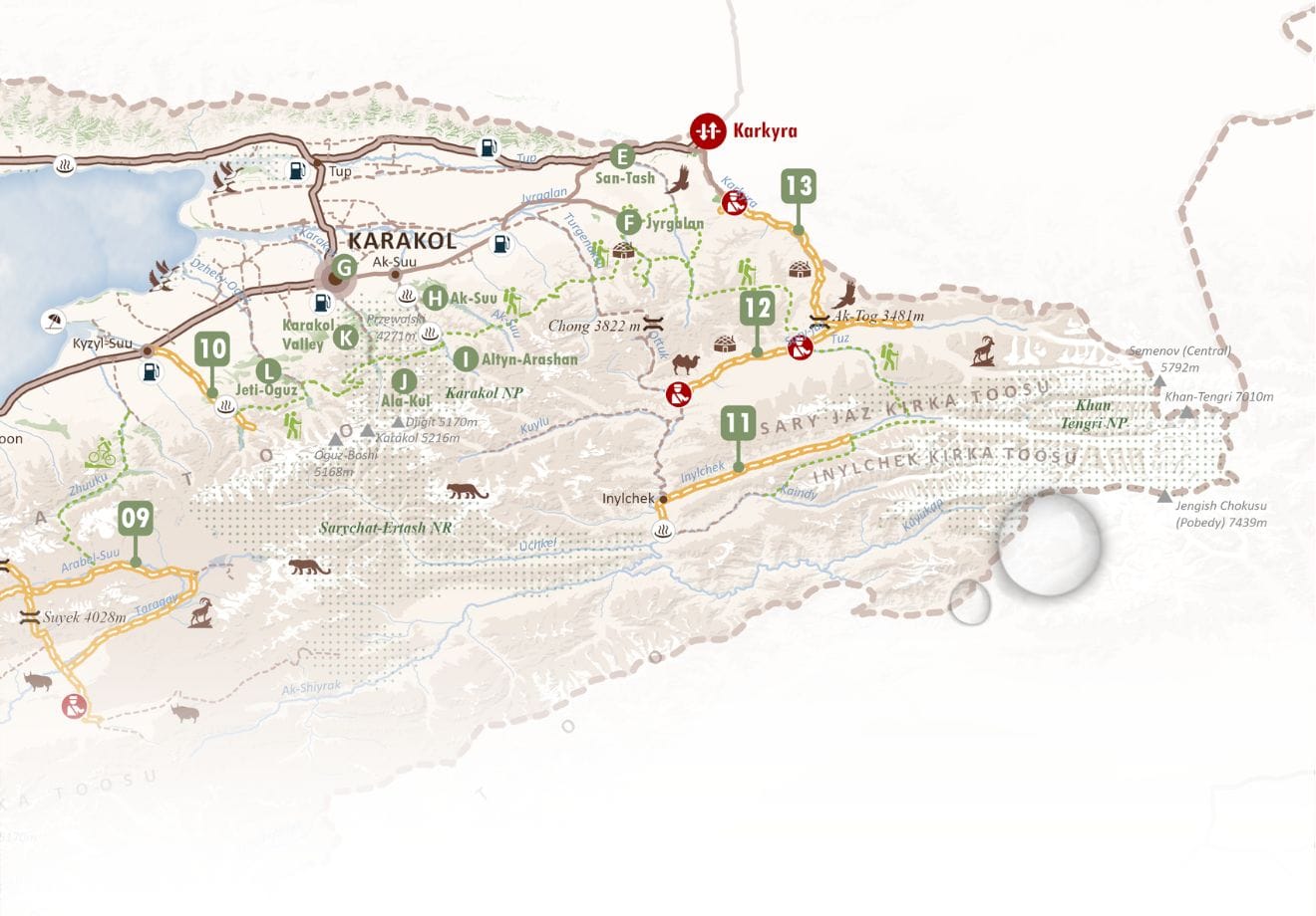
Tourist map of Kyrgyzstan
11,90 €

Avec l’application cela facilite grandement la tache, le lien entre les traces et le ebook est très fluide. Le gros plus se sont les commentaires des voyageurs, c’est très appreciable d’avoir des infos actualisées.
Have not yet tested yet, but the app seems to work fine and the tracks are displayed along with all interesting landmarks and waypoints. The app also contains comments from travellers providing updates on road conditions, so this seems genuinely useful.
Pas facile pour moi mais c’est comme ça